Download Chignik C-2
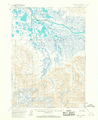
Southern Latitude:
56.5000 N
Eastern Longitude:
-158.3333
Northen Latitude:
56.7500 N
Western Longitude:
-158.6667