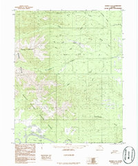
USGS Topo Quad Hughes A-6, Alaska
Download Hughes A-6
Download Hughes A-6
Southern Latitude:
66.0000 N
Eastern Longitude:
-155.5000
Northen Latitude:
66.2500 N
Western Longitude:
-156.0000
Mountain(s) in Hughes A-6
Caribou Mountain,
Spruce Knob,
Stream(s) in Hughes A-6
Aloha Creek,
Bear Creek,
Dry Creek,
Moraine Creek,
Pirate Creek,
Wallick Creek,
Valley(s) in Hughes A-6
Ida Gulch,
Village(s) in Hughes A-6
Hogatza,
