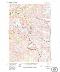
USGS Topo Quad McCarthy B-4, Alaska
Download McCarthy B-4
Download McCarthy B-4
Southern Latitude:
61.2500 N
Eastern Longitude:
-142.1250
Northen Latitude:
61.5000 N
Western Longitude:
-142.5000
Bar(s) in McCarthy B-4
Peavine Bar,
Glacier(s) in McCarthy B-4
Rex Glacier,
Twaharpies Glacier,
Mine(s) in McCarthy B-4
Binocular Prospect,
Erickson Prospect,
Nelson Prospect,
Radovan Prospect,
Mountain(s) in McCarthy B-4
Andrus Peak,
Chitistone Mountain,
Mount Holmes,
Joshua Green Peak,
Nikolai Butte,
Pyramid Peak,
Pass(s) in McCarthy B-4
Hancock Pass,
Range(s) in McCarthy B-4
University Range,
Ridge(s) in McCarthy B-4
Lime Butte,
Stream(s) in McCarthy B-4
Copper Creek,
Eagle Creek,
Glacier Creek,
Grotto Creek,
Texas Creek,
Toby Creek,
Valley(s) in McCarthy B-4
Contact Gulch,
Idaho Gulch,
Nikolai Gulch,
Pollard Gulch,
Radar Gulch,
Radovan Gulch,
Seattle Gulch,
