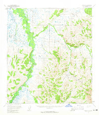
USGS Topo Quad Ophir C-1, Alaska
Download Ophir C-1
Download Ophir C-1
Southern Latitude:
63.5000 N
Eastern Longitude:
-156.0000
Northen Latitude:
63.7500 N
Western Longitude:
-156.5000
Stream(s) in Ophir C-1
Bear Creek,
Boston Creek,
Caribou Creek,
Colorado Creek,
Cripple Creek,
Folger Creek,
Fourmile Creek,
Graham Creek,
Hunch Creek,
McLean Creek,
Quartz Creek,
Shorty Creek,
Twomile Creek,
Village(s) in Ophir C-1
Cripple,
Folger,
