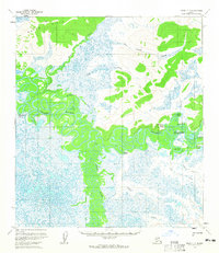
USGS Topo Quad Ophir C-3, Alaska
Download Ophir C-3
Download Ophir C-3
Southern Latitude:
63.5000 N
Eastern Longitude:
-157.0000
Northen Latitude:
63.7500 N
Western Longitude:
-157.5000
Abandoned Towns(s) in Ophir C-3
Dishkakat,
Paltchikatno,
Simels,
Lake(s) in Ophir C-3
Big Lake,
Horseshoe Lake,
Round Lake,
Stink Lake,
Range(s) in Ophir C-3
Wapoo Hills,
River(s) in Ophir C-3
Dishna River,
Stream(s) in Ophir C-3
Coffee Creek,
Crescent Creek,
Finland Creek,
Last Chance Creek,
Stink Creek,
Taft Creek,
Tom Creek,
Wapoo Creek,
