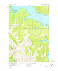
USGS Topo Quad Sitka B-4, Alaska
Download Sitka B-4
Download Sitka B-4
Southern Latitude:
57.2500 N
Eastern Longitude:
-135.0000
Northen Latitude:
57.5000 N
Western Longitude:
-135.3333
Bar(s) in Sitka B-4
Paradise Flats,
Rodman Rock,
Bay(s) in Sitka B-4
Appleton Cove,
Hanus Bay,
Lindenberg Harbor,
Rodman Bay,
Saook Bay,
Cape(s) in Sitka B-4
Point Benham,
Point Kennedy,
Point Moses,
False Lindenberg Head,
Lindenberg Head,
Saook Point,
Island(s) in Sitka B-4
Andersen Island,
Dead Tree Island,
McClellan Rock,
Prince Island,
Lake(s) in Sitka B-4
Lake Eva,
Mountain(s) in Sitka B-4
Annahootz Mountain,
Mount Rosenberg,
River(s) in Sitka B-4
Clear River,
Trail(s) in Sitka B-4
Lake Eva Trail,
Village(s) in Sitka B-4
Todd,
