Download Anchorage B-7 SW
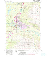
Southern Latitude:
61.2500 N
Eastern Longitude:
-149.4375
Northen Latitude:
61.3750 N
Western Longitude:
-149.6250