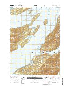
USGS Topo Quad Cordova C-5 SW, Alaska
Download Cordova C-5 SW
Download Cordova C-5 SW
Southern Latitude:
60.5000 N
Eastern Longitude:
-145.6875
Northen Latitude:
60.6250 N
Western Longitude:
-145.8750
Bar(s) in Cordova C-5 SW
Fleming Spit,
North Rock,
South Rock,
Bay(s) in Cordova C-5 SW
Deep Bay,
Eccles Lagoon,
Mud Bay,
Odiak Slough,
Shipyard Bay,
Three Mile Bay,
Cape(s) in Cordova C-5 SW
Bluff Point,
Knot Point,
Saddle Point,
Salmo Point,
Channel(s) in Cordova C-5 SW
The Narrows,
Odiak Channel,
Orca Channel,
Orca Inlet,
Western Channel,
City(s) in Cordova C-5 SW
Cordova,
Dam(s) in Cordova C-5 SW
Apw Dam Number 1,
APW Dam Number 2,
Meals Lake Dam,
Island(s) in Cordova C-5 SW
Channel Islands,
Grass Island,
Mavis Island,
North Island,
Observation Island,
Spike Island,
Lake(s) in Cordova C-5 SW
Crater Lake,
Hole-in-the-wall,
Meals Lake,
Odiak Lagoon,
Mountain(s) in Cordova C-5 SW
Mount Eccles,
Mount Eyak,
Heney Peak,
Mount Shiels,
Tripod Hill,
Stream(s) in Cordova C-5 SW
Boulder Creek,
Deep Creek,
Eccles Creek,
Fleming Creek,
Hartney Creek,
Heney Creek,
Nicolet Creek,
Village(s) in Cordova C-5 SW
Orca,