Download Point Hope A-2 SE
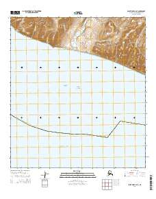
Southern Latitude:
68.0000 N
Eastern Longitude:
-165.6000
Northen Latitude:
68.1250 N
Western Longitude:
-165.9000