Download Point Lay B-2 SW
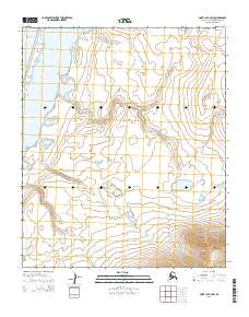
Southern Latitude:
69.2500 N
Eastern Longitude:
-162.9000
Northen Latitude:
69.3750 N
Western Longitude:
-163.2000