Download Tyonek B-2 SE
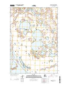
Southern Latitude:
61.2500 N
Eastern Longitude:
-150.3750
Northen Latitude:
61.3750 N
Western Longitude:
-150.5625