Download Mount Hayes A-2 SW
Southern Latitude:
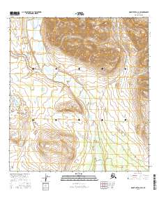
63.0000 N
Eastern Longitude:
-144.7500
Northen Latitude:
63.1250 N
Western Longitude:
-145.0000