Download Taku River C-5 SW
Southern Latitude:
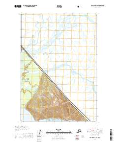
58.5000 N
Eastern Longitude:
-133.5000
Northen Latitude:
58.6250 N
Western Longitude:
-133.6667