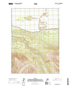
Download McCarthy A-4 SW
Southern Latitude:
61.0000 N
Eastern Longitude:
-142.3125
Northen Latitude:
61.1250 N
Western Longitude:
-142.5000